1–10 acres
Small Property
$99one-time visit
4 seasonal visits$299Save $97
Farm & rural property services in Northern Virginia
Property inspections, mapping, targeted thermal support, and wildlife recovery across Northern Virginia and the Virginia Piedmont—covering the land from above and checking concerns where they matter on the ground.
Services
Choose a service below to see how it works and what you receive.
Aerial coverage of rural properties, followed by boots-on-the-ground verification when something needs a closer look.
+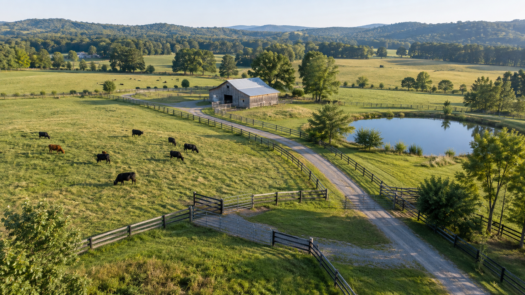
We screen fences, gates, pastures, roads, ponds, drainage, livestock areas, and structures from above. When we identify an accessible concern, we inspect and photograph it from the ground so the report gives you useful information—not just an aerial image.
Current, high-resolution property maps for farm planning, land management, documentation, and large-format display.
+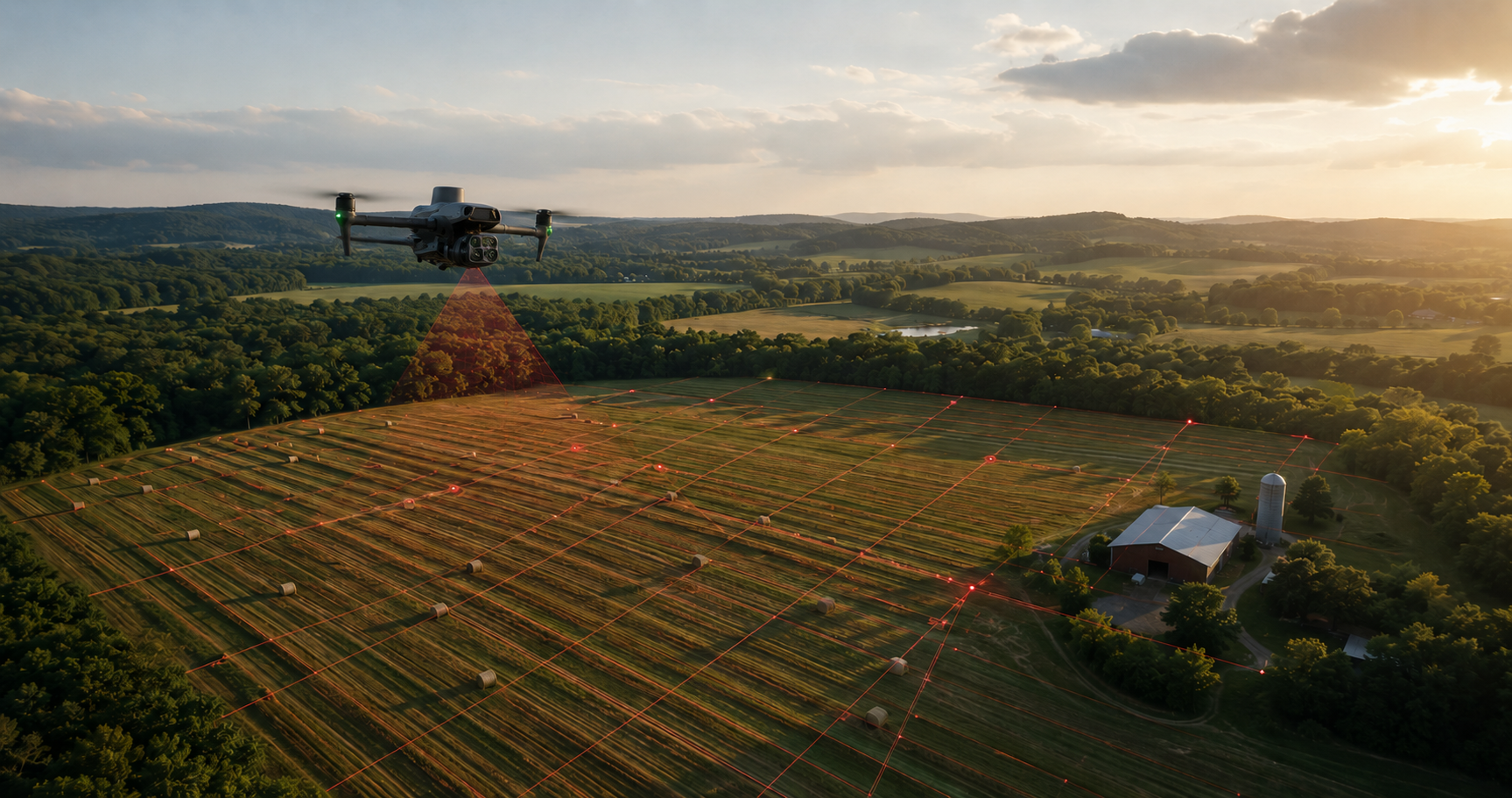
A programmed flight captures overlapping images across the property. Those images are processed into a detailed orthomosaic that can document fields, roads, ponds, buildings, drainage, and other property features. Digital files and large-format summer or leaf-off wall maps are available.
Targeted thermal, storm-response, livestock-search, and problem-area coverage when a routine visual inspection is not enough.
+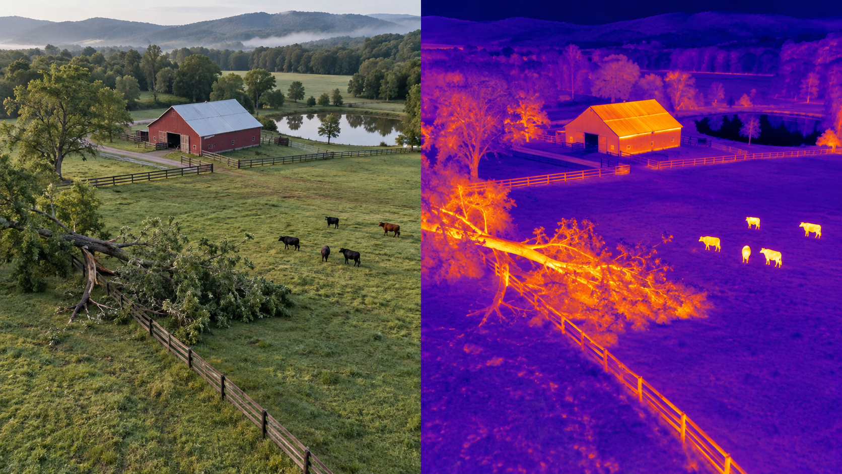
Event-based inspections focus on a specific concern, such as storm damage, a missing animal, a barn or building anomaly, standing water, or a difficult-to-access area. Thermal imagery is used where it can provide useful additional context.
Thermal aerial support for ethical wildlife recovery, helping landowners and hunters cover difficult terrain when every minute matters.
+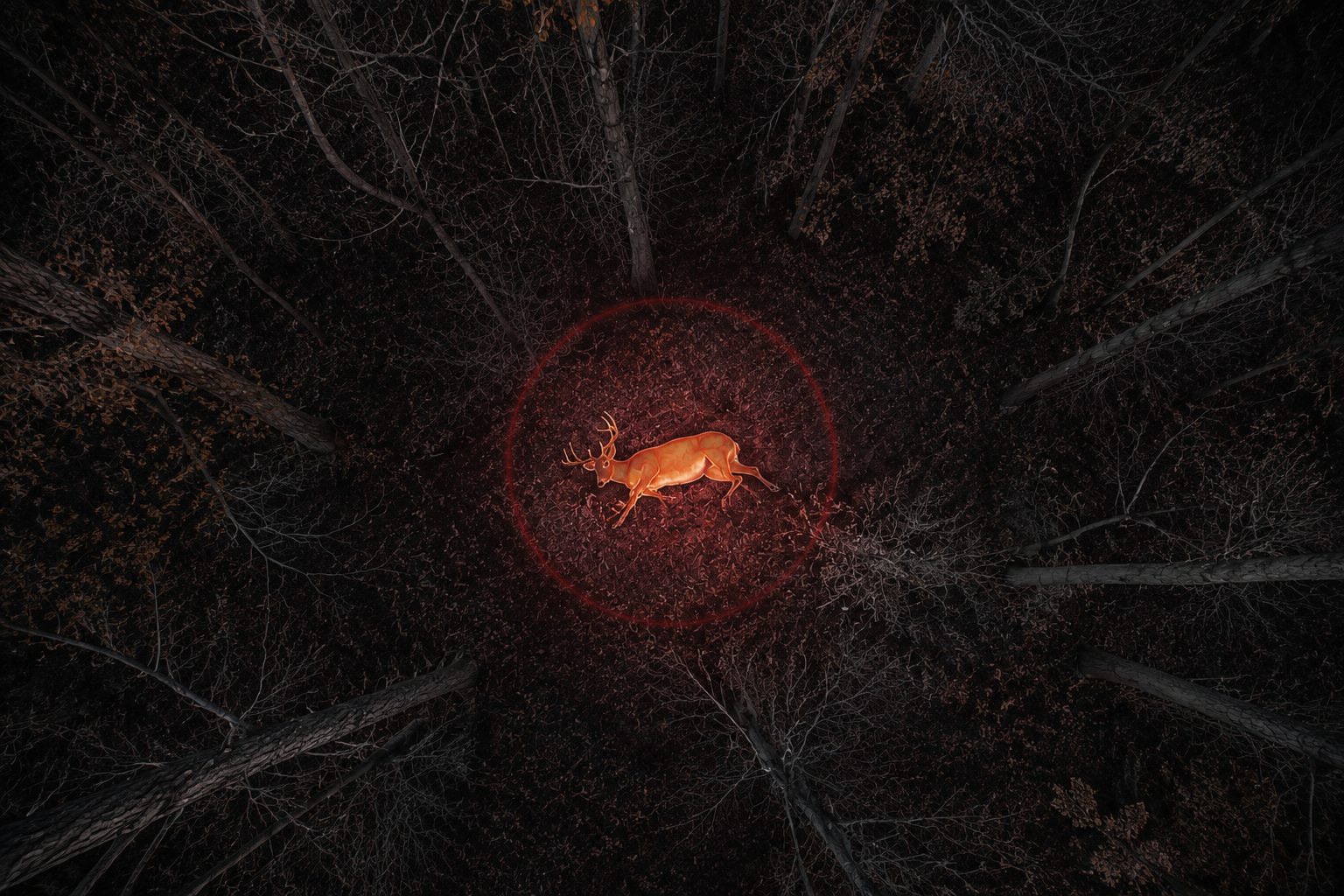
A thermal-equipped Matrice 4T can search fields, woods, and thick cover from above to locate heat signatures. The goal is to help recover game efficiently, reduce wasted meat, and give hunters a responsible option after a difficult tracking job.
Northern Virginia thermal deer recovery — starting at $230
Serving Northern Virginia and the Virginia Piedmont. Distances are measured from Gainesville, Virginia. Beyond 30 miles, pricing is based on location. One straightforward price covers a thorough thermal and visual search, GPS location, and recovery guidance—without hourly charges, a success fee, or a recovery bonus. Results cannot be guaranteed.
Farm & property inspections
We survey the property from above, then check accessible concerns on foot when something needs a closer look. Seasonal plans provide four inspections per year—without forcing you into monthly service.
Property inspections starting at $99.1–10 acres
11–25 acres
26–100 acres
101–250 acres
251–500 acres
Optional add-ons
Specialized services
Thermal and visible imaging can identify panels or areas displaying unusual heat patterns for further evaluation by a qualified solar technician or electrician.
Pricing covers a visual property inspection and accessible ground verification—not engineering, veterinary, boundary, repair, or certified electrical services. Terrain, travel, fence mileage, livestock, and requested scope may affect the final quote.
Request a Property Quote ↗Built for the field
Powers Aerial Solutions specializes in farms and rural properties, combining capable drone technology with practical field inspection. Every project begins with the question that matters: what do you need to know about the property, and how can we document it clearly?
From a seasonal farm inspection to a time-sensitive wildlife recovery or a detailed printed map, the goal is the same—safe operations, useful results, and straightforward service.
Our code of ethics
Every flight should protect wildlife, personal privacy, and the trust of the people who invite us onto their property.
We use drone technology to support ethical wildlife recovery and responsible land management. We will not use an aircraft to chase, harass, repeatedly disturb, or intentionally alter the natural movement of wildlife. Recovery operations are conducted carefully, lawfully, and with the goal of reducing unnecessary suffering and wasted game.
Every flight is limited to the authorized property and the work requested by our customer. We do not conduct surveillance, intentionally record neighboring homes or private activity, or use customer imagery for advertising without permission.
Customer photographs, thermal imagery, maps, coordinates, and recovery locations are treated as confidential. Information is shared only with the customer or another party the customer authorizes.
Every project is subject to landowner permission, airspace requirements, applicable wildlife regulations, and safe operating conditions. We reserve the right to decline or stop any flight that would be unsafe, unlawful, or inconsistent with these principles.
Start a conversation
Tell us what you need, where the property is located, and your preferred timeline. We’ll respond with next steps and a straightforward quote.
brian@powersaerialsolutions.com